
In the prairie pothole region of Iowa and the surrounding states, the landscape was scraped flat by the Des Moines Lobe of the Wisconsin Glacier. As the glacier pushed and receeded over and over again, various landforms were left behind, suchas moraines, drumlins, eskers, kames, till and outwash plaines.
In low lying areas between these features, if large chunks of ice were left behind, kettlehole lakes and prairie potholes formed as the ice melted. Due to these dynamic processes, there is a great deal of diversity in the soils, solar aspect, and moisture gradients that drain inward toward a central location. Hence, each prairie pothole wetland or kettlehole lake is a somewhat isolated ecological system all to itself.
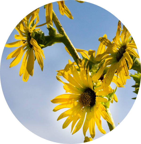
This prairie pothole in this photo is from the Cayler Prairie Nature Preserve complex in Dickinson County, Iowa.

This aerial photo is of the prairie pothole landscape around the nearby Garlock Slough Waterfowl Production Area (Spirit Lake, Iowa).

#midwest #wetlandecology #MidwestWildernessConnections #NaturePhotography #photography #naturelovers #naturelover #hiking #photographylovers #prairies #midwestmoment #naturephoto #wildernessculture #naturephotographer #travel #photograph #travelphotographer #landscape_lovers #wanderlusting #hikingadventures #mytravelgram #photographylover #naturepics #landscapephotographer #landscape_captures #wetlands #photographers_prism #prairiepotholeregion #wisconsinglacier #midwestlivin


